
With its size (12,000 items), the collection of Bernard Paul Moll ranks among the largest surviving historical map collections in Central Europe. To make it accessible, an interactive web presentation was chosen that reflects the unique composition of the collection and allows clear searching across the entire digitized collection.
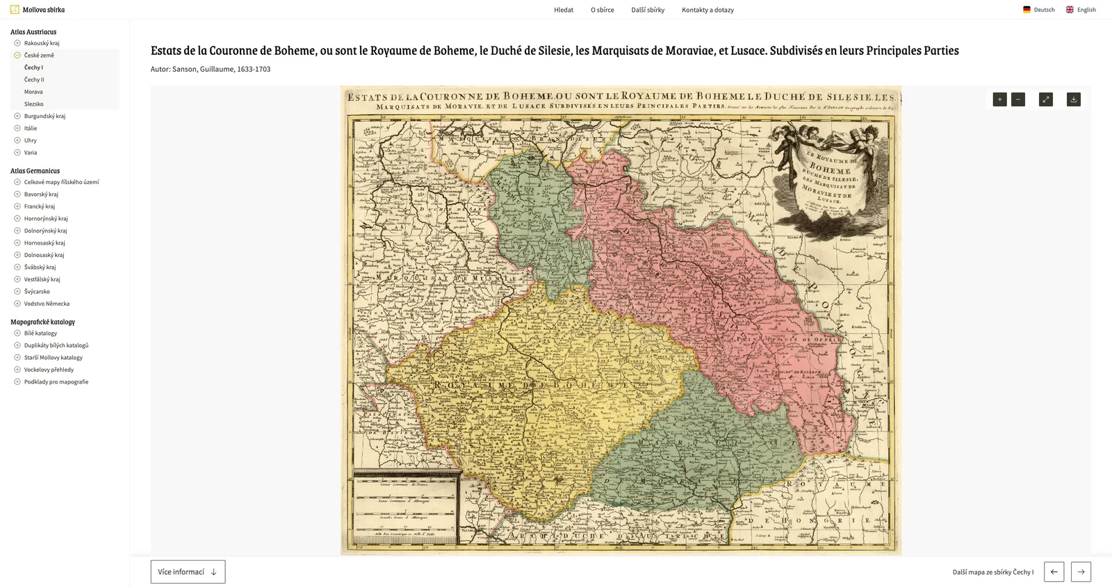
An essential part of the system is an interactive high-resolution interface that displays even the smallest cartographic details. This is key for professional research in particular, enabling the study of rare works down to the finest details without the risk of damage from repeated handling.
Users can browse the collection by its historical division into regions or search by territory, author or time period.
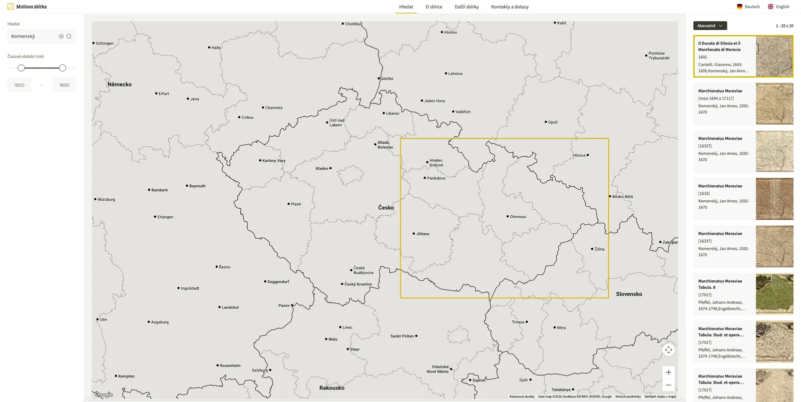
The project offers tools for actively working with history that go beyond simply displaying data. Instead of a static digitized archive or a shop window, the collection has gained an “interactive study room” and a tool for professional work as well as for popularizing cultural heritage.
Examples of use for galleries, museums and archives
The Moll Collection serves as a reference solution for the digital presentation of extensive collections where visual detail and territorial, historical or thematic context play a key role.
- Detailed study of works of art: displaying prints, drawings or vedute in high resolution, enabling expert analysis of artefacts without physically handling the original.
- Georeferenced collections: making photographs, postcards or plans accessible through an interactive map interface and filtering by historical locations.
- Historical plans and chronicles: publishing large-format works and multi-sheet documents with smooth page-turning and comparison of time layers.
- Access to rare collections: creating specialized websites for coherent collections that require, for example, a specific classification system.